
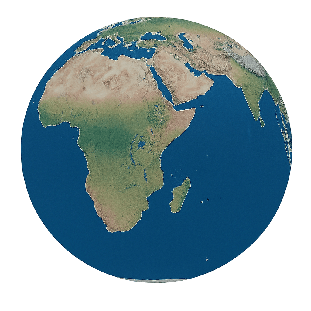
EFORTHINK UWB Positioning System and Four Technology Options
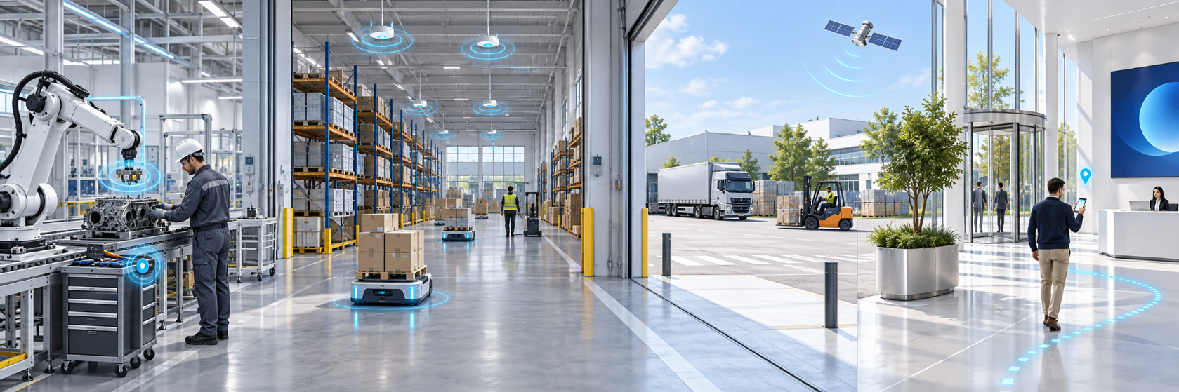
Industrial high-precision positioning
The industrial UWB positioning system combines fixed base stations, mobile tags, positioning algorithms, and RTLS software. This UWB RTLS provides a real time location system for personnel, assets, tools, equipment, and vehicles.
This UWB positioning system uses wide-bandwidth signals for precise time measurements. Positioning-module accuracy reaches 10 cm; the achieved system result depends on obstructions, anchor placement, and configuration.
Maps, electronic fences, trajectory playback, visitor management, heatmaps, and video integration connect the UWB positioning system with operational workflows. Select the terminals and reporting behavior around the object and application.
UWB and AoA fusion positioning
A fusion UWB positioning system combines UWB precision with AoA coverage. Multi-protocol tags switch between the supported technologies to match different areas of the facility.
The UWB positioning system architecture includes small-area single-base-station AoA positioning and larger fusion networks. EFORTHINK combines centimeter-level UWB and sub-meter AoA positioning, with achieved performance dependent on deployment conditions.
Use this UWB positioning system where workstations, storage areas, and movement routes have different precision requirements. A common application layer presents location, geofences, and history across the selected technology zones.
UBeacon plus iBeacon and GNSS fusion
For indoor and outdoor coverage, the UWB positioning system can form part of a broader fusion solution. UWB-based UBeacon supports high-precision areas, iBeacon supports general indoor areas, and GNSS provides outdoor positioning where satellite conditions are suitable.
The fusion UWB positioning system combines personnel distribution, electronic fencing, trajectory playback, gathering-risk monitoring, and work-control information. The UWB positioning system serves the precision zones while the other technologies address different coverage requirements.
Select compatible terminals and define transitions between buildings, yards, and operating areas. An indoor positioning solution with outdoor coverage needs consistent identities and location records across those transitions.
Downlink smartphone navigation
The downlink UWB positioning system uses DL-TDoA, or Downlink Time Difference of Arrival. Synchronized anchors transmit signals, and compatible UWB-enabled smartphones receive them and calculate position locally.
In this UWB positioning system, the phone is the user terminal, so visitors do not need a separate positioning tag. Maps and navigation algorithms support multi-floor routing, arrival detection, and points of interest.
EFORTHINK's navigation system supports 30 cm-level positioning under suitable deployment conditions. Smartphone use depends on model, regional hardware, operating system, and application compatibility. SDKs and APIs connect UWB navigation with spatial services.
Match architecture to the application
Industrial tracking needs suitable tags, operating rules, and enterprise-system interfaces. Public navigation needs compatible phones, maps, destinations, and route guidance. Choose the UWB positioning system around those workflows when comparing indoor positioning technologies.
EFORTHINK combines hardware, software, algorithms, and integration support across its technology portfolio. Share your tracked objects, indoor and outdoor areas, accuracy requirements, and interfaces to select a UWB positioning system for the project.
eforthink Technology Co., Ltd.
eforthink Technology Co., Ltd.
Legal Disclaimer:
EIN Presswire provides this news content "as is" without warranty of any kind. We do not accept any responsibility or liability for the accuracy, content, images, videos, licenses, completeness, legality, or reliability of the information contained in this article. If you have any complaints or copyright issues related to this article, kindly contact the author above.
